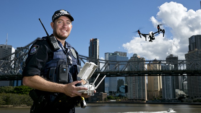
Drones are being used to map crash scenes to reduce the impact on traffic in Queensland.
Police will use the latest technology to save the community millions of dollars in lost time and productivity and dramatically reduce the impact of major traffic incidents, police minister Mark Ryan says.
The Forensic Crash Unit Aerial Mapping Project has shown that using the latest drone technology can cut crash scene mapping times in half.
It has deployed four drones with eight drone pilots in South East Queensland.
A year’s congestion caused by traffic incidents on Brisbane roads cost the community $23 million in lost time and productivity, studies show.
One contributing factor for road closure times during traffic incidents was scene mapping by Forensic Crash Unit officers.
As a result, the project was established to evaluate the benefits of using drone technology to map crash scenes.
Other benefits include a significant improvement in the quality and accuracy of evidence captured at the scene.
“Roads are closed for a shorter period, there’s better evidence and no increase in cost,” Ryan says.
“This has been a thoroughly researched project and included consultation with key stakeholders to develop procedures and policies for the effective and safe deployment of the drone technology on motorways, highways and major arterial roads and its subsequent admissibility in court.”